The Process of BIM and GIS Integration Applications and Benefits
Nowadays, cities are experiencing a variety of issues regarding the resiliency and sustainability of their critical infrastructures – from bridges and roads to facilities. For this reason, there is a need to follow a more comprehensive approach to an infrastructure or a building. However, this can be accomplished by effectively integrating geospatial location data with different design procedures employing BIM and GIS (Geographic Information System). GIS informs BIM by giving engineers and architects a realistic idea of the surrounding environment.
But, how does this integration benefit you, and what are its applications? Keep reading this blog.
What is BIM?
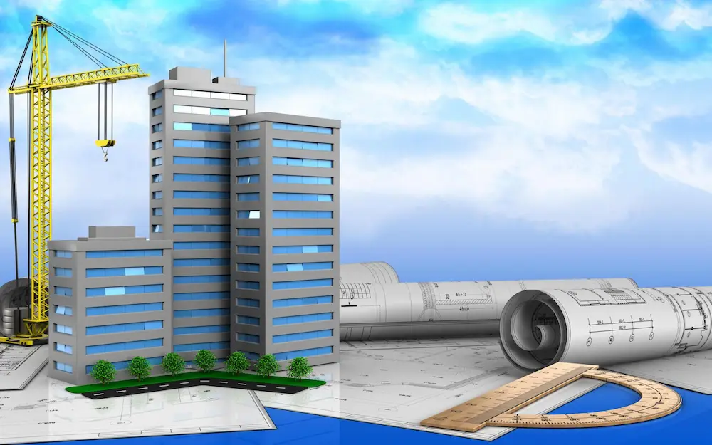
BIM, abbreviated as “Building Information Modeling,” is a famous AEC (Architectural Engineering services and Construction) industry term. It is the process of creating a 3D digital representation of infrastructure and its crucial elements by incorporating functional and physical information as per the project requirements. However, BIM models can be prepared using various state-of-the-art software, such as BIM 360, Revitzo, NavisWorks, Revit, and many more.

Above all, BIM objects play a crucial role in making a BIM model. They not only have geometry but store essential data as well. If any of the elements are changed, the BIM tools also update the models to overcome those changes. BIM services are often used for BIM coordination, clash detection, facility management, cost estimators, construction simulation, and maintenance.
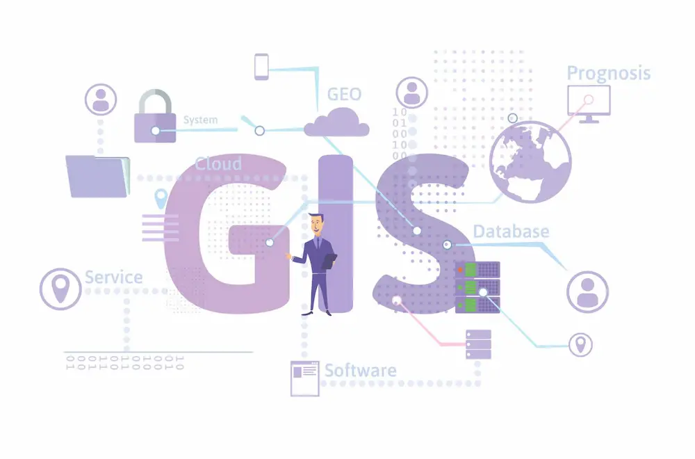
What is GIS?
GIS is abbreviated as “Geographic Information System.” This is a computer system that is involved in storing, analyzing, and visualizing geographic data. However, this system gathers data that is coupled to a specific location. Adding more, GIS is integrated with a map comprising descriptive information and location data. With GIS, architects get information considering various factors, like geography, demography, social economy, and natural environment as well.
You might be wondering about the purpose of GIS, right? Data assists users in understanding spatial connections, characteristics, and geographical circumstances easily. Aside from this, this system also helps in wiser decision-making during maintenance operations and for facility management. Therefore, the potential advantages of GIS can’t be overstated.
BIM and GIS Integration
Optimizing information flow between CAD, geographical data, and BIM is very important to connect GIS and BIM (Building Information Modeling). Globally, the AEC sector is substantially integrating geographical data with design seamlessly. For example, ArcGIS BIM is being used to support CAD and BIM file formats, which are utilized in various construction, planning, inspection, operations, and maintenance processes. Briefly, the BIM and GIS integration allows construction and design companies to collect the most accurate data forum.
Want a holistic representation of your infrastructure project? There is no better way than integrating these two systems. The value of using BIM data inside ArcGIS surpasses simply integrating BIM material from a variety of applications and disciplines into a selection of a diversity of asset lifecycle procedures. So, managing your projects and the whole infrastructure at the same time can be challenging, but BIM and GIS integration has made it more convenient.
What Are The Benefits of Integrating BIM and GIS?
The BIM and GIS integrations offer many benefits to the architecture. Let’s delve into it below.
Enhanced Data Visualization
The integration of building information modeling with the geographic information system helps improve data visualization. But, how so? This integration provides a comprehensive and well-detailed overview of the projects that comprise 3-dimensional models of buildings, their crucial components, and the geospatial data. This assists stakeholders in better understanding their context, which ultimately leads to better decision-making for the desired building project.
Asset Management
BIM GIS integration also helps in efficient asset management for project owners and facility managers. Asset management is based on a detailed understanding of the condition of each asset. BIM has the capability of modeling assets in intricate detail and integrating effectively with real-time facility management tools. It gives stakeholders unparalleled insights into all aspects.
Accurate Site Selection
One of the other advantages of BIM and GIS integration is accurate site selection. BIM provides a 3-dimensional digital model of a structure, while GIS gives spatial context, right? So, GIS data can include necessary information about climate, topography, terrain, and accessibility. This enables professionals to explore multiple scenarios and determine the effect of variables involved in design and planning. This way, engineers can get the optimal site for construction.
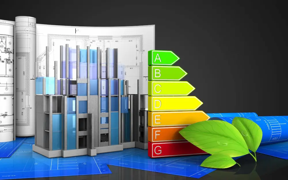
Environmental Impact And Sustainability
The integration of GIS and building information modeling also allows a better analysis of the environmental impact of the infrastructure project. This integration is of significant importance for sustainable urban development and to comply with the latest environmental regulations.
Revolutionizing The Project Lifecycle
BIM and GIS integration help bring context to the design. Not only this, but it also generates a workflow that results in improved construction and restoration of infrastructure and facilities throughout the building project lifecycle. Thankfully, ArcGIS GeoBIM has made it much simpler and easier to keep scene layers updated with the most recent intelligence collected from design.
Improving Infrastructure Operation Intelligence
The Internet of Things allows for real-time monitoring of thermal and seismic activity in physical assets, like buildings and bridges. There will be a plethora of sensors on the planet, many of which are built into the assets we utilize and then analyzed in 3-dimensional environments. Comprehensively, this helps discover new avenues for new designers to appropriately plan, use, and consume sensor information to amplify the operational maintenance of large asset systems.
Risk Management
The successful integration of GIS and BIM also assists with risk management by providing architects with more detailed and accurate data. For example, building information modeling helps produce resilient designs. The spatial analysis provided by GIS assists in assessing risks and disaster preparedness. So, if you want a holistic view of your infrastructure project, there is no better choice to integrate these two systems. This ensures that you finish your work on time.
Applications of GIS and BIM Integration
Below are a few applications of BIM and GIS (Geographic Information System) integration.
Line Of Sight Analysis
Have you ever heard of line-of-sight analysis? This is one of the most crucial aspects of construction projects. By integrating BIM and GIS technologies, we can significantly enhance the line of sight analysis in the building project. Aside from this, detailed and comprehensive terrain data from integrating BIM with GIS eliminates the chances of potential hurdles around the project site. This helps better assess structural planning regarding sensitive areas and more.
Optimizing Resource Allocation
Project managers and contractors have to deal with some challenging landscapes. For this reason, the combination of GIS and BIM provides valuable insights into optimizing resource allocation during construction. Even if you want to facilitate the distribution of equipment, building materials, and workers, this BIM and GIS integration is great. This in turn will ultimately provide you with a significant amount of savings on time and your finances at the same time.

Analyzing Flood Conditions
Are you looking for a comprehensive overview of flooding conditions both before and after an event of this magnitude? By combining GIS-based flood data and building information modeling, it has become easier to simulate flood scenarios, which is extremely invaluable to developing effective strategies to mitigate floods. So, if you have an accurate representation of different geospatial effects of flooding conditions, you can improve response strategies to the next level.
Traffic Management
On top of that, the application of BIM and GIS combination in traffic management is also beneficial throughout the construction phases. No matter what kind of traffic disruptions are happening during the construction process, the integration of these two systems helps navigate them easily. From examining real-time traffic scenarios to determining bottlenecks and deploying the most effective traffic management strategies to improve the existing infrastructure.
Know More About BIM and GIS Integration From Our Experts
Tools and Technologies for BIM and GIS Integration
Esri ArcGIS
ArcGIS is a top-notch GIS software that gives a comprehensive and detailed suite of tools to capture, manage, and analyze spatial data. It allows combination with BIM software, leading to the flawless exchange of information between GIS databases and building information models.
Autodesk InfraWorks
Autodesk InfraWorks is a robust tool that combines GIS and BIM capabilities, enabling the creation of 3-dimensional models that incorporate real-world information. It allows professionals to design, analyze, and also visualize building projects regarding the surrounding environment.
Trimble Connect
Trimble Connect is nothing but a cloud-based collaboration platform to supports the combination of GIS data and BIM. This allows for real-time information sharing and collaboration, which makes it much easier for project managers to access the most updated data and information.
Feature Manipulation Engine (FME)
This data integration platform facilitates the successful exchange of data between various systems, including GIS and BIM. Aside from this, the FME tool offers a range of data conversion and transformation capabilities, providing the project team with seamless data interoperability.
Read More: Terms For Architecture
Successful BIM and GIS Integration Projects
The following are some case studies of successful BIM and GIS integration projects.
The City Of Helsinki Smart City Initiative
One amazing fact about the City of Helsinki in Finland is that it has been actively leveraging GIS and BIM integration as a part of its cutting-edge City Initiative. For example, by combining BIM models with geographic information system data, the city was able to generate a digital twin of its urban development. Moreover, the leading advantage of this visual representation was optimized resource allocation, better urban planning, and highly improved citizen engagement. The combination of these two systems also helped identify locations for new motorbikes, considering various crucial factors. This may comprise safety, traffic patterns, and accessibility.

The London Crossrail Project
The London Crossrail Project has been one of the construction projects in Europe. This infrastructure project used GIS and BIM integration to streamline the whole building process. By successfully overlaying BIM (Building Information Modeling) models onto GIS maps, the project team was capable of visualizing and analyzing the complex underground network of various stations and tunnels. You might be pondering what could be the leading purpose of doing so, right? Well, this enabled better coordination among several contractors. Not only this, but this also reduced the risks of any errors or clashes during the construction process.
Furthermore, the BIM and GIS integration facilitated the optimization and management of documentation, making certain that all stakeholders can access the most updated information.
The Singapore National Stadium
The Singapore National Stadium is the centerpiece of the Sports Hub of the country. This infrastructure benefited greatly from the integration of BIM and GIS. By integrating building information models into GIS data factors, like sun exposure and wind patterns, architects were able to optimize the stadium’s orientation and shape. This resultantly minimized the heat gain and maximized natural ventilation at the same time. This stadium is the best example of a building that is energy-efficient and sustainable, providing a comfortable experience to people.

City Of Paris Flood Model
The Paris Flood Model was also created with the successful integration of GIS and BIM technologies coupled with reality capture. However, the first and foremost motto was to carry out critical flood analysis. If we talk about InfraWorks, it was created in collaboration between Hydronia and Autodesk. This had the potential to replicate the flood conditions within a 3-dimensional contextual model. So, this Paris Flood Model was also developed following InfraWorks. This indicates that it generated the whole 2-dimensional flood model of urban Paris.

No matter how challenging it was to assess the initial flood risks in coastal regions and urban floodplains, the development of this model was a successful initiative during the flood events.
Wrapping It Up
The goal of integrating GIS and BIM is to give project owners, AEC companies, and governmental agencies the capability of concentrating on all crucial aspects of the infrastructure. It is to develop a future with infrastructure that is highly resilient and sustainable for the safe growth of our populations and cities. Briefly, utilizing GIS and BIM implies improved workflows that help designers make all-inclusive, well-informed, and data-driven decisions.